
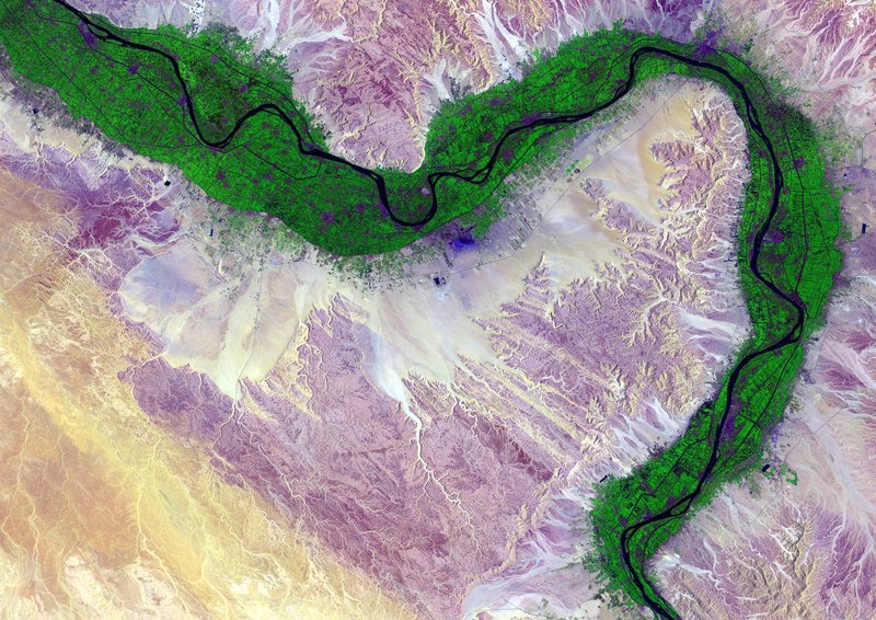
The Water Bodies (WB) mapping service concerns the detection of the areas covered by inland water (WB delineation). The area covered by WBs is identified as an Essential Climate Variable (ECV) by the Global Climate Observing System (GCOS). The mapping of WBs over certain periods of interest (e.g. over a year) provides the maximum and the minimum extent of the water surface, as well as the seasonal dynamics. The assessment of extent and seasonal occurrence of WBs can allow the monitoring and prediction of freshwater availability to populations and livestock, the provision of advice for water use and irrigation activities, and the support of agricultural knowledge and information systems.
Water Bodies at Coarse Spatial Resolution 1km - Copernicus
Water Bodies maps at 1km spatial resolution. The product detects the areas covered by inland water for a specific 10-day period. This product is a federation from the PROBA-V based archived Copernicus GLS WB product (v.2), which is available until June 2020.