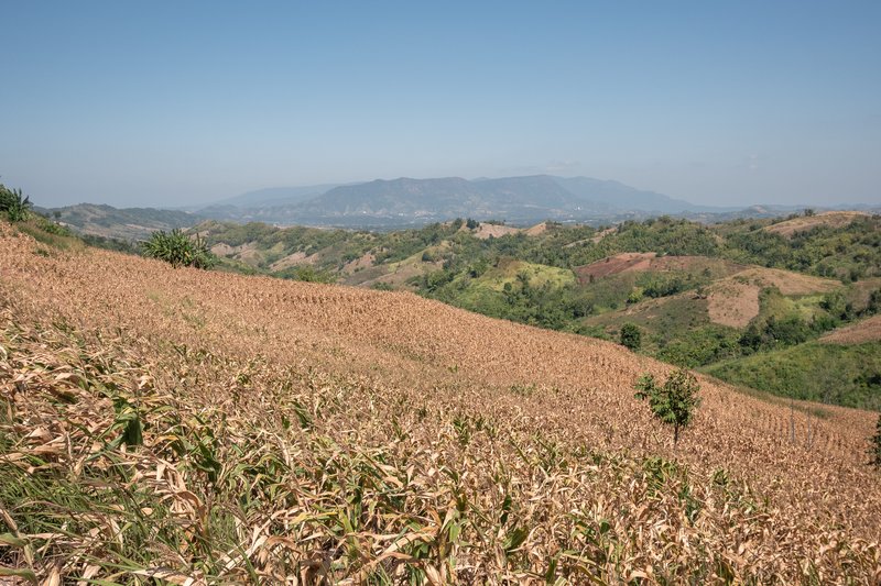
The crop early warning service provides early warning information on a near real time basis at the global, national or local level according with the spatial resolution. The service make use of weather and vegetation data from models and remote sensing observations and on well-established time series analysis methods. The system makes available timely overviews of crop anomalies as input to more detailed agricultural monitoring or food security assessments.

Crop Early Warning at 1x1 km
Crop status alert based on a combination of: vegetation index at low resolution obtained by PROBA-V images (VCI), temperature and precipitation. The CRop Early Warning (CREW) is a map provided every 10 days that takes into account the crop condition and the temperature and precipitation information to issue an early warning of a potential crop stress status.
List of Layers:
- Crop early warning, 1x1 km, Kenya
Crop Early Warning at 250x250 m
Crop status alert based on a combination of: vegetation index at medium resolution obtained by MODIS images (NDVIA), temperature and precipitation. The CRop Early Warning (CREW) is a map provided every 8 days that takes into account the crop condition and the temperature and precipitation information to issue an early warning of a potential crop stress status.
List of Layers:
- Crop early warning, 250x250 m, Kenya
