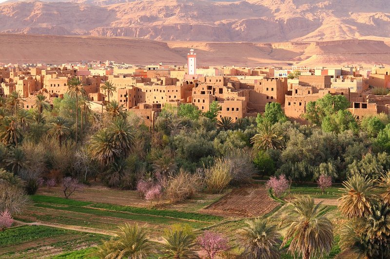
Land Use and Land Cover (LULC) is an important component in many applications, scientific studies and assessments, as it provides fundamental information for understanding the relationship between humans and natural systems. Accurate and updated LULC information is essential at different spatial scales. It helps monitoring agriculture and land development and supports decision making on issues regarding rural development, food security and environmental sustainability.

Land Use & Land Cover, 100x100 m
The service at medium resolution is based on LC maps provided by different institutions or projects (Copernicus, FAO, USGS, etc.). LC map are reorganized to make them more readable from final users. The file contains two bands. Band 1 provides the fraction (in percentage) of the pixel covered by the class given in Band 2. Band 2 contains the class that covers the largest fraction of the pixel. The classes are 10, the class forest is distinguished in 12 sub-classes.
List of Layers:
- Land Use & Land Cover, 100x100 m, Kenya
Land Use & Land Cover, 20x20 m
The service at high resolution is based on Sentinel-2 LC maps provided by ESA. LC map is re-organized to make it more readable from final users. The pixels are classified in 10 classes (from 1 to 10) and each pixel represents the land cover types.
List of Layers:
- Land Use & Land Cover, 20x20 m, Kenya
Land Use Change, 100x100 m
This service is based on Land Change maps at different spatial resolution provided every year from different institutions or projects (Copernicus, FAO, USGS, etc.).
Land Cover Change Assessment (LCCA) provides a map of the pixels interested by a change from a initial year and a final year and gives, for each changed pixel, a value from which it is possible to retrieve the actual and the previous class of that pixel. In particular, the file contains two bands. Band 1 provides a value computed according to the formula: pix_val(i,j) = LC_last(i,j)*10+LC_ref(i,j). Band 2 provides the the values 0 - 1 (no-change / change). Land cover types are grouped in 7 classes: Grass (1), Crop (2), Forest (3), Shrub (4), Bare (5), Built areas (6), Water (7)
List of Layers:
- Land Use Change, 100x100 m, Kenya
